


Hurricane Erin’s Outer Bands Impact Virgin Islands as Storm Turns North; New Disturbances Emerge
- Staff Consortium
- August 17, 2025
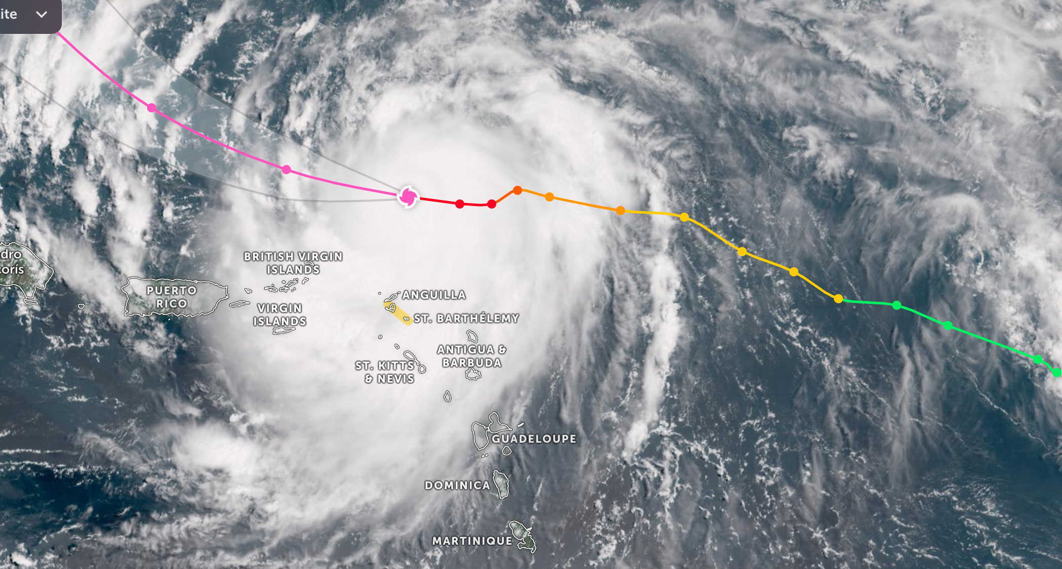
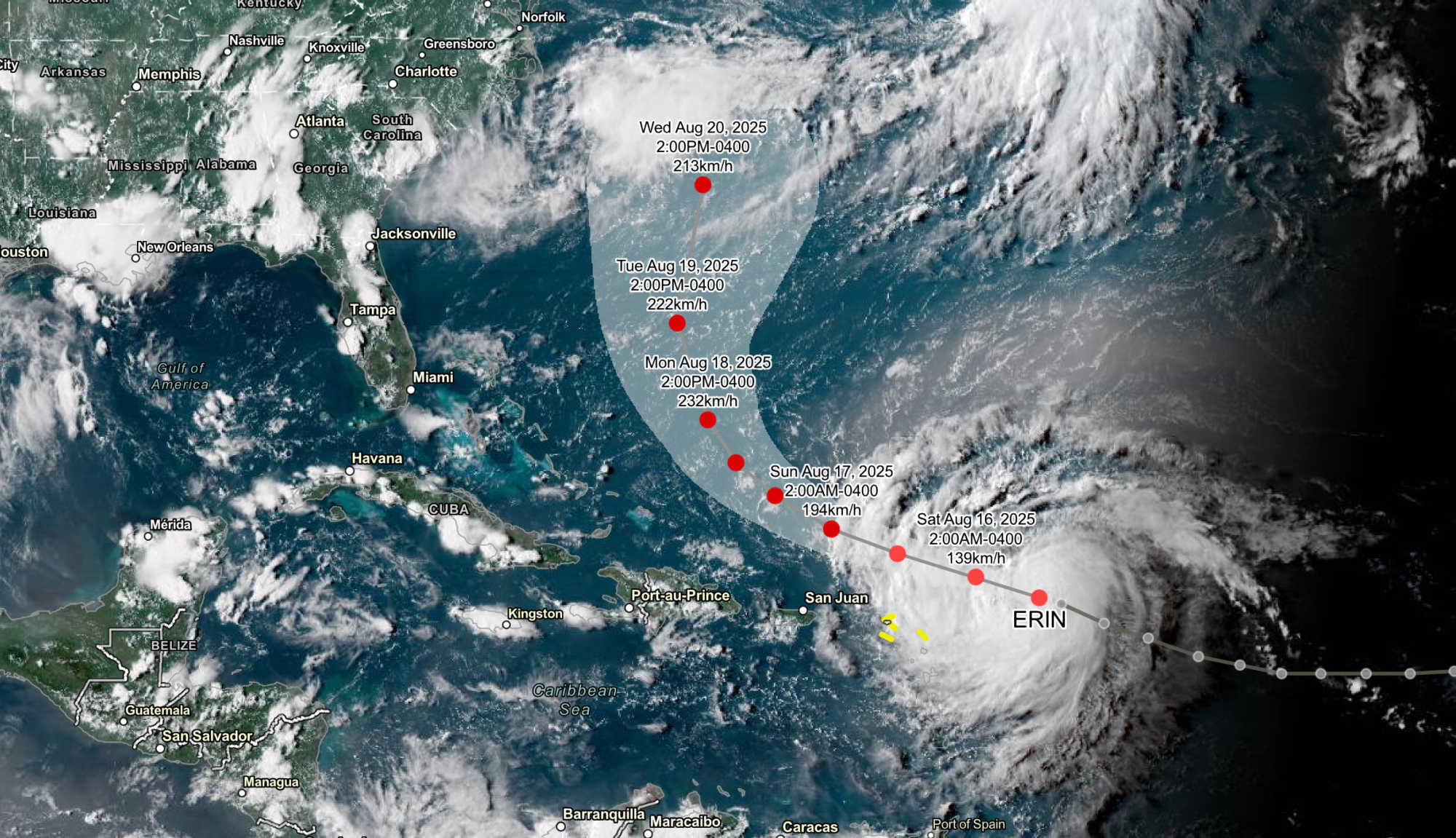
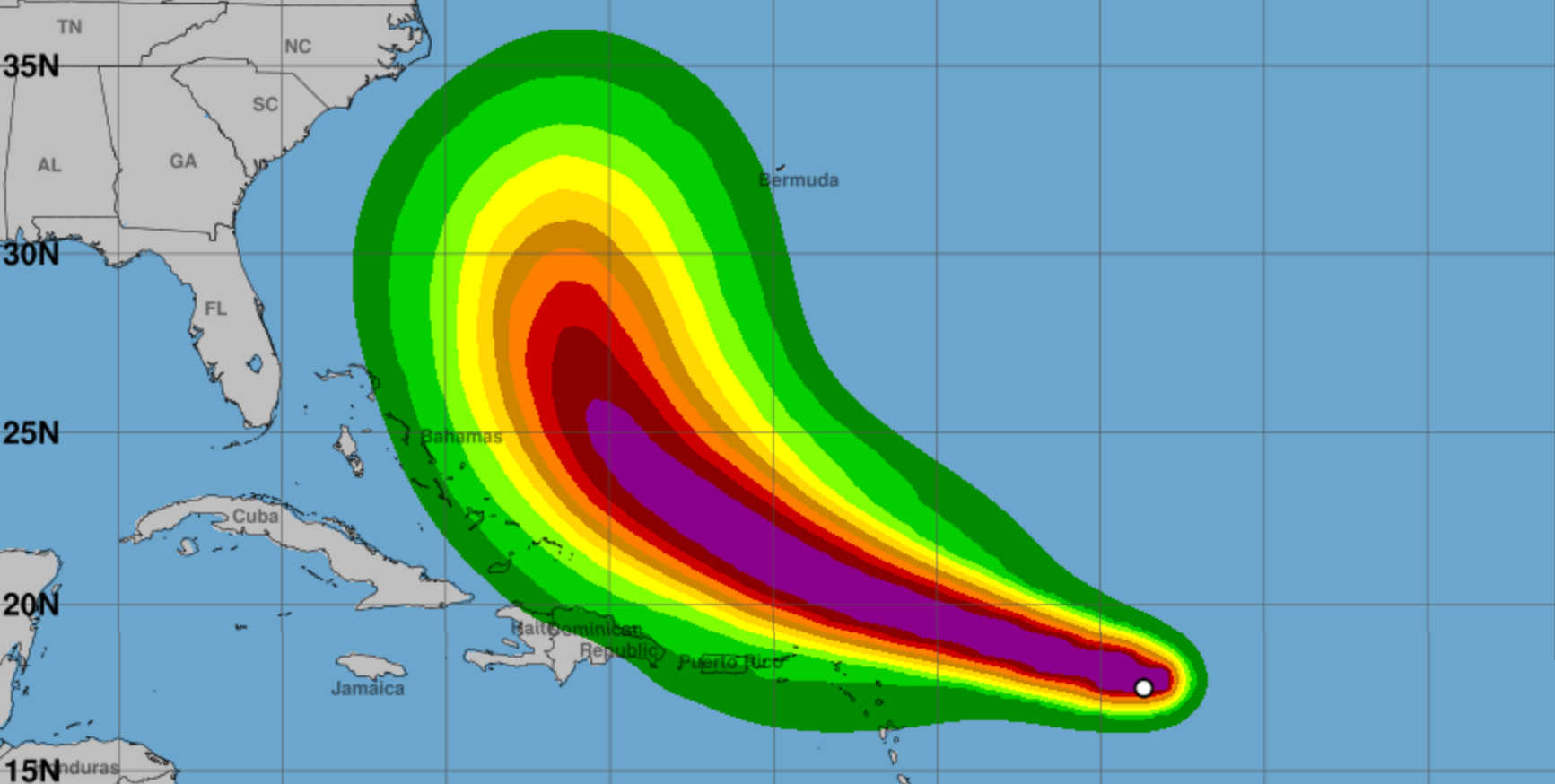
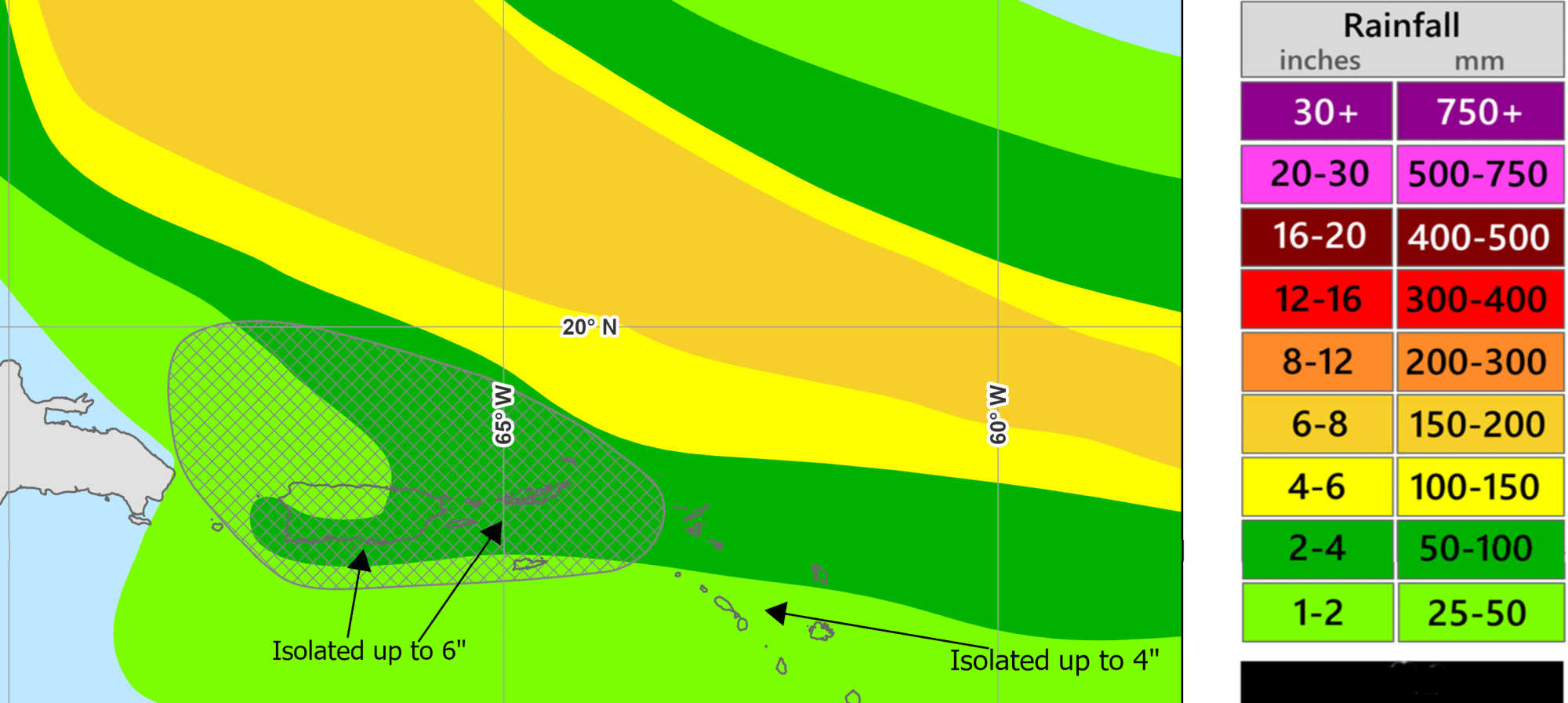
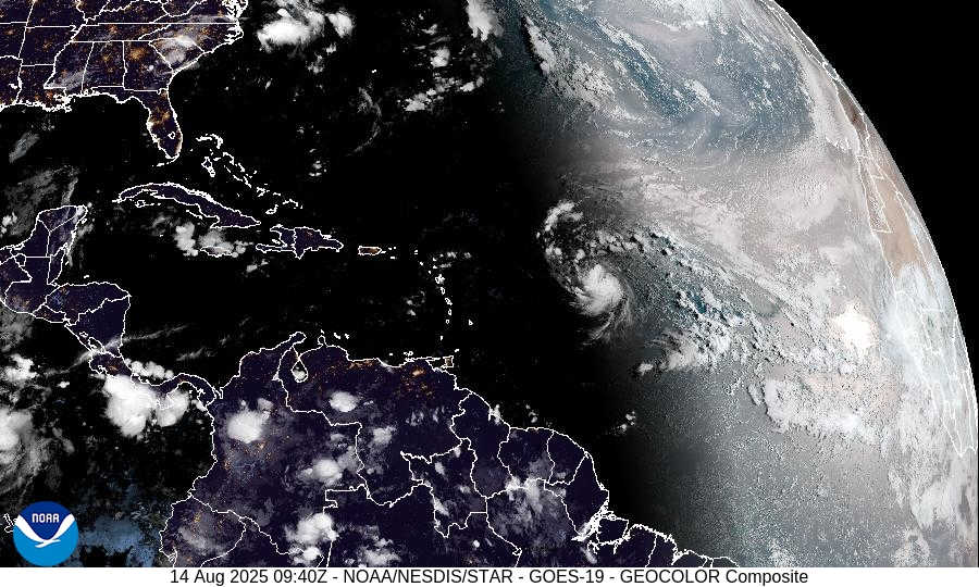
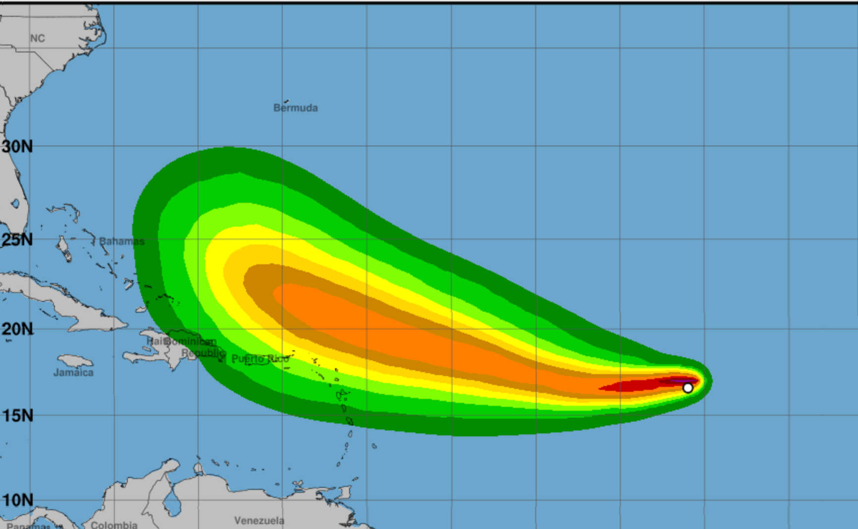
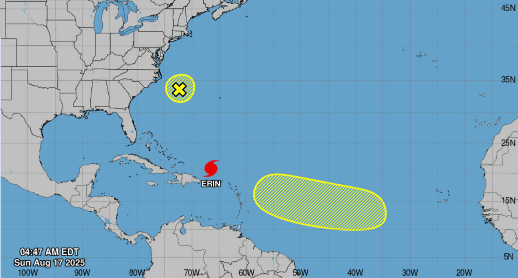
Hurricane Erin, now a Category 3 storm in the Atlantic, is delivering heavy rain, strong winds, and dangerous surf to the U.S. Virgin Islands and Puerto Rico as it tracks west-northwest with a gradual turn to the north expected early in the week. At 5 AM AST, the center of Hurricane Erin was located at latitude 20.6°N and longitude 66.4°W, about 155 miles north of San Juan, Puerto Rico and 310 miles east of Grand Turk Island. Erin is producing maximum sustained winds of 125 mph (205 km/h) and a central pressure of 940 mb. The storm is moving west‑northwest at 14 mph (22 km/h). Outer rainbands have been producing gusty winds and heavy rainfall across the U.S. Virgin Islands and Puerto Rico since Saturday night. The National Hurricane Center (NHC) notes that Erin will slow today and begin turning north on Monday and Tuesday. Forecasts show the core of the hurricane passing east of the Turks and Caicos Islands and the southeastern Bahamas tonight and Monday. Hurricane‑force winds exte...