

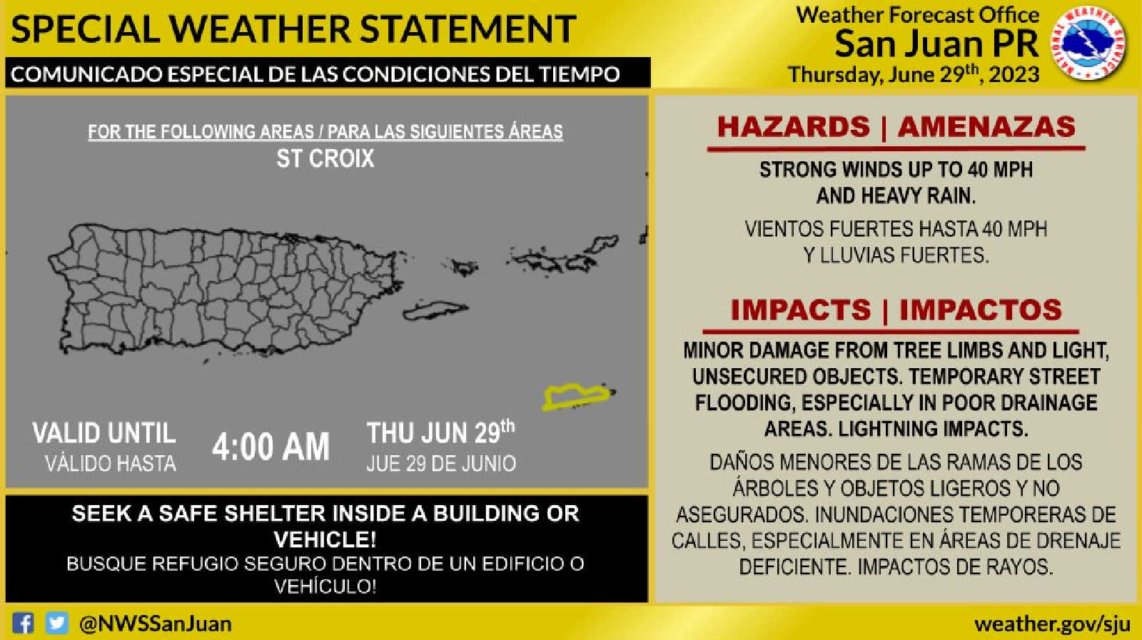
As a tropical wave moves westward across the eastern Caribbean region, coupled with a developing weak upper-level trough, unsettled weather conditions are predicted for the U.S. Virgin Islands and surrounding areas through late Thursday night.

The unusual weather interaction is expected to promote increased rainfall, which could result in localized flooding and challenging marine conditions. The local islands should brace for daily total rainfall amounts of 1-2 inches, potentially reaching 3-6 inches by the event's culmination. Forecasters warn of possible ponding of water in roads and poorly drained areas, leading to urban flooding and even isolated flash floods.
These conditions started impacting central to northwestern Puerto Rico this afternoon, spreading to eastern and southern Puerto Rico, Vieques, Culebra, and the U.S. Virgin Islands Wednesday night and continuing at least until late Thursday night.
Along with rainfall, isolated to scattered thunderstorms are predicted, posing risks of frequent lightning and gusty winds. Breezy conditions are forecast, with maximum sustained winds of 10-20 mph and gusts up to 30 mph, predominantly affecting coastal areas of southwestern Puerto Rico and the northern U.S. Virgin Islands. Residents are urged to secure loose items that could be blown about by the wind.

The tropical wave also brings a moderate risk of rip currents, with breaking waves around 6 feet. The highest breaking waves are expected across the beaches of southern and eastern Puerto Rico, Vieques, Culebra, and St. Croix. Beach-goers and mariners should exercise caution, as life-threatening rip currents are possible.
Marine conditions are anticipated to deteriorate, with building seas up to 6 feet, occasional seas up to 8 feet, and winds up to 20 knots with gusts up to 30 knots. The highest seas and strongest winds are most likely across the offshore Atlantic and Caribbean waters and local passages, warranting extra caution for small crafts.

The National Weather Service is monitoring the situation closely and will provide an updated forecast by 11:00 a.m. AST on Thursday. The current forecast may undergo changes depending on the shifting nature of the tropical wave and trough and will be adjusted as necessary.