


0 Photo Credit: GETTY IMAGES
The National Weather Service in San Juan announced Wednesday that increasing winds and a northerly swell spreading across the local waters will maintain hazardous marine conditions through at least the weekend.

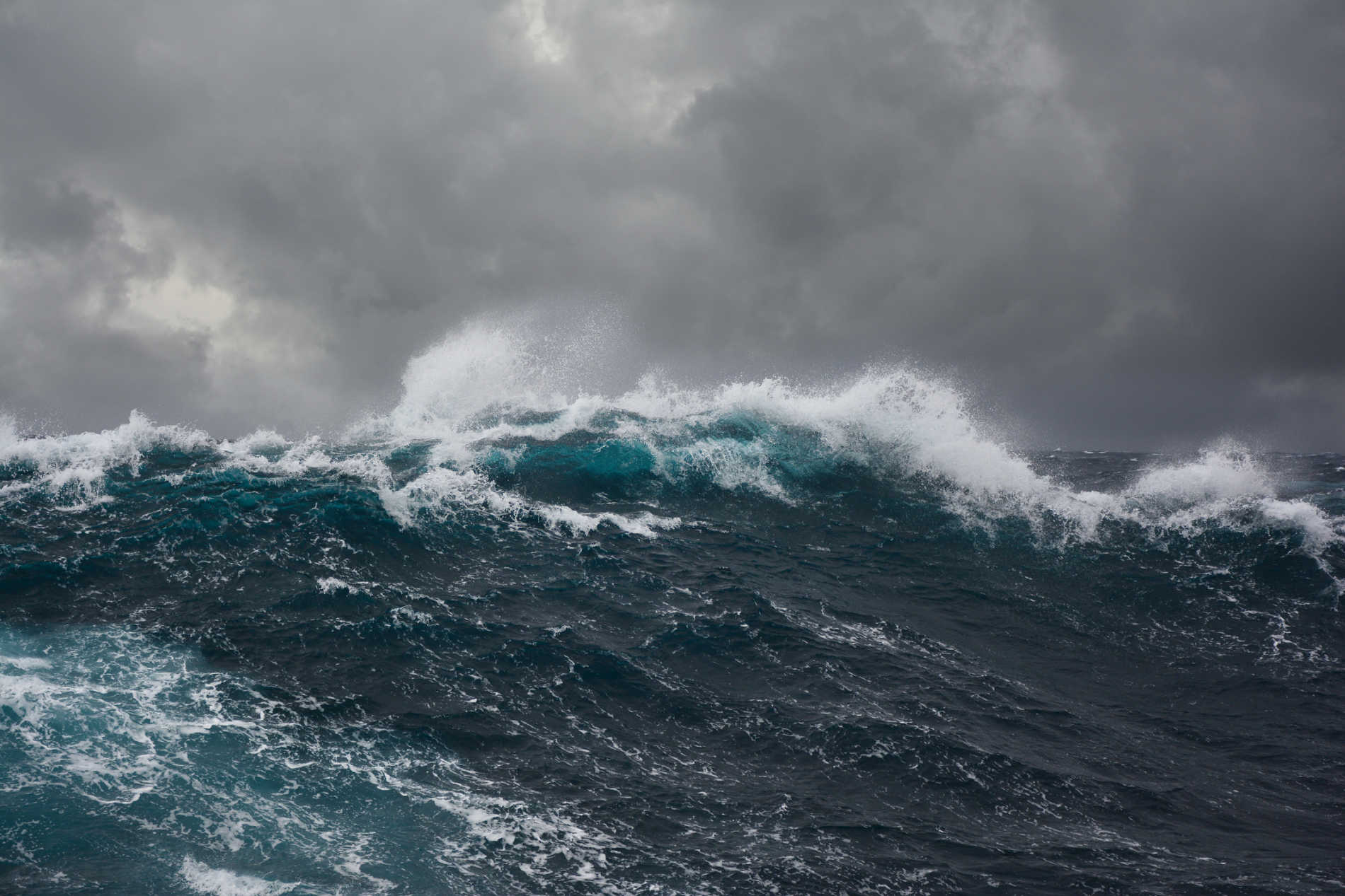
NWS said the resulting breaking waves will cause life-threatening rip currents during the next several days. In addition, the remnants of an old frontal boundary will be moving just north of the local islands and, in combination with favorable weather conditions, will enhance the potential for showers across the region and isolated thunderstorm development in the interior and western Puerto Rico each afternoon.
According to the forecast, at this time the threat level of life-threatening rip currents is high, while the threat level for flooding and hazardous seas is moderate.
Potential Hazards and Impacts
- Marine: Building seas up to 8 feet, and occasionally up to 10 feet, with the highest seas across the Atlantic offshore waters and Mona Passage, where Small Craft Advisories will be in effect through the weekend. Seas will also become hazardous in the Anegada passage from early Thursday morning through late Thursday night with seas of 7 feet. Seas should remain at 6 feet or below elsewhere across the regional waters, where small craft operators should exercise caution through the workweek into the weekend.
- Coastal Areas: In Puerto Rico, breaking waves of 6 to 9 feet along the outer reefs and unprotected beaches of the north, east, northwest and southeast coast of Puerto Rico, as well as beaches of Vieques and Culebra. In the U.S. Virgin Islands, breaking waves of 6 to 8 feet are expected. Therefore, a High Rip Current Risk is in effect through at least Saturday afternoon for north, east, southeast, Vieques, Culebra and all the US Virgin Islands.
- Flooding: There is a moderate risk of flooding with ponding of water on roads and in poorly drained areas as well as urban and small stream flooding Thursday through Saturday. The risk of flooding will increase on Sunday into early next week as deeper moisture reaches the forecast area. Next Update: 7:00 AM AST Thursday, April 14th, 2022, or before if conditions warrant. The marine and weather forecast may change between model runs, and the forecast will be adjusted as needed.


Advertisements


