




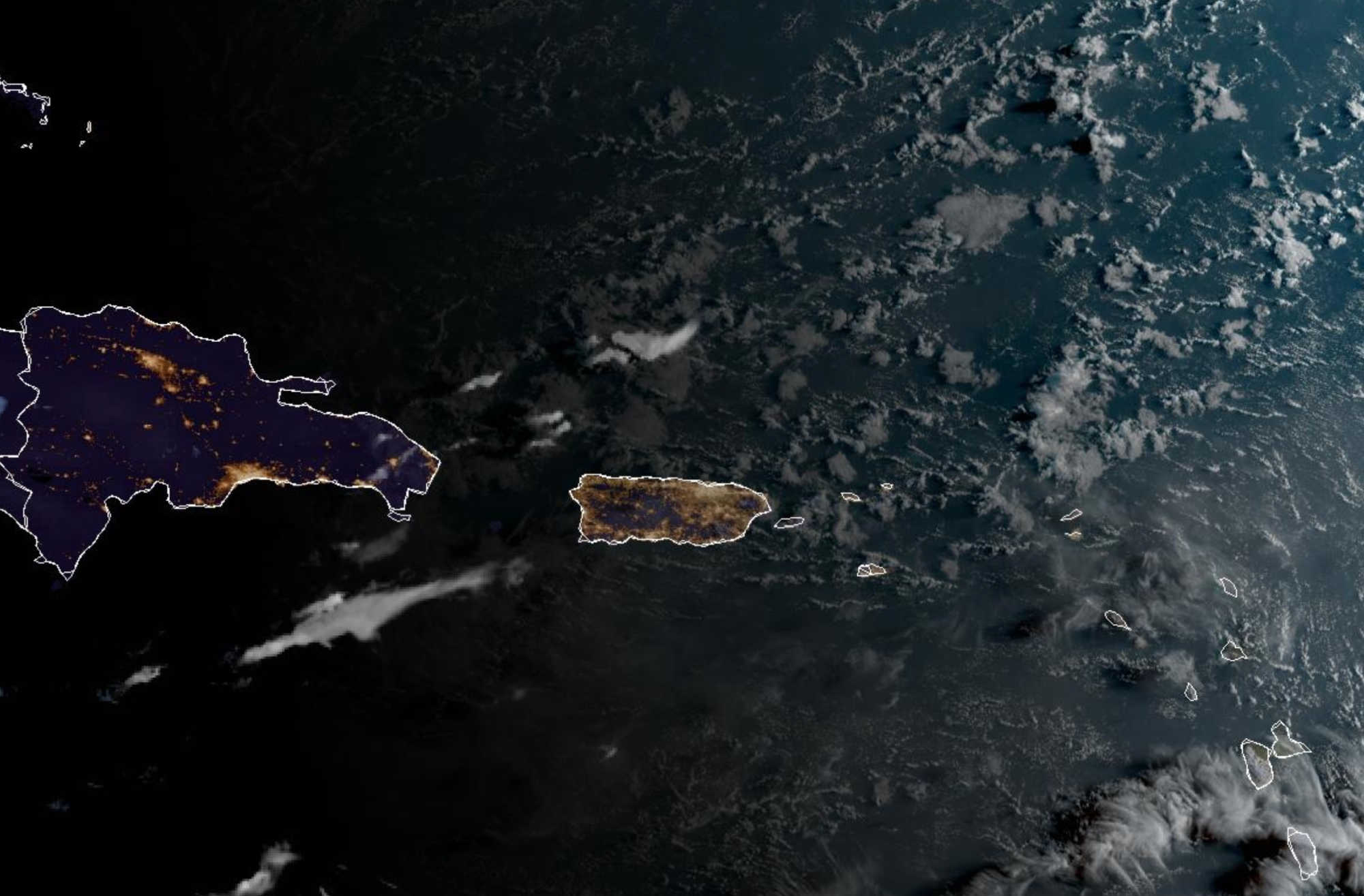
The National Weather Service in San Juan has placed St. Croix, St. Thomas, St. John and adjacent islands under a Heat Advisory from 10 a.m. to 5 p.m. Saturday, with heat indices in some coastal and urban locations potentially reaching around 110 degrees as a somewhat wetter trade-wind pattern brings passing showers across the territory. A weak tropical wave is expected to move through the region Monday, but forecasters say its deepest moisture should remain primarily south of the islands over the Caribbean Sea.

The Saturday morning forecast represents a shift from the hotter, drier and hazier conditions experienced late in the week. In its 3:16 a.m. Area Forecast Discussion, NWS San Juan said patches of moisture moving across the region will raise precipitable water values to roughly 1.8 to 1.9 inches and support a showery pattern under breezy easterly winds. Because the showers are expected to move relatively quickly, rainfall totals should generally remain limited rather than producing a prolonged or widespread rain event.
On St. Croix, the latest NWS point forecast calls for a 50 percent chance of rain Saturday, with scattered showers during the morning, a possibility of thunderstorms between noon and 3 p.m., and additional scattered showers afterward. The daytime high is forecast near 90 degrees, with easterly winds of 14 to 16 mph and gusts as high as 21 mph. For Cruz Bay on St. John, NWS also gives a 50 percent chance of showers Saturday, mainly after 3 p.m., with a high near 86 and east-southeast winds of 14 to 16 mph.
Despite the additional cloudiness and showers, heat remains the most immediate weather hazard. The Heat Advisory issued at 2:55 a.m. Saturday covers both USVI forecast zones and warns that hot temperatures combined with high humidity could cause heat-related illnesses, particularly among people without adequate cooling or hydration. NWS advises residents to drink plenty of fluids, limit exposure to the sun and schedule frequent breaks in shaded or air-conditioned areas when working outside.

Conditions should become somewhat quieter Sunday morning as a relatively dry pocket of air moves into the area. NWS expects generally fair weather for much of the morning, although brief showers remain possible along windward areas. Moisture is forecast to increase again later Sunday, but the atmosphere is not expected to become unstable enough to support widespread or prolonged rainfall. Heat will remain a concern through Sunday and Monday, particularly in coastal and urban areas, where heat indices could again approach 110 degrees in some locations.
By Monday, a weak tropical wave is expected to move across the region. While most of the associated tropical moisture is forecast to pass south of Puerto Rico and the Virgin Islands, the northern edge of the moisture field should reach the territory and increase the frequency of passing showers. NWS currently expects a somewhat wetter pattern than Sunday rather than a major rainfall event.
Another increase in moisture is possible Tuesday, when forecasters say showers and isolated thunderstorms could develop across the U.S. Virgin Islands and eastern Puerto Rico as early as the morning. There remains considerable uncertainty over how widespread or substantial that rainfall will be, with the GFS and European models differing on atmospheric conditions and increasing trade winds potentially causing showers to move too quickly for significant accumulations. NWS noted that rainfall would be beneficial amid ongoing drought conditions in portions of the USVI and Puerto Rico, but said confidence remains low that the upcoming disturbances will provide meaningful drought relief.
Conditions could turn somewhat drier again Wednesday as a mid-level ridge rebuilds and suppresses widespread shower development, although hot weather is expected to continue. Forecasters are also monitoring another disturbance for Thursday, but current guidance keeps most of its moisture south of the islands over the Caribbean Sea. A possible tropical wave may approach Friday, though NWS cautions that confidence in the latter part of next week's forecast is lower because of differences among weather models.
Marine conditions are expected to remain manageable but occasionally choppy. Moderate easterly winds should produce seas generally between 3 and 5 feet, occasionally reaching 6 feet in offshore Atlantic waters. Showers and thunderstorms Saturday could temporarily create localized hazardous marine conditions. The rip-current risk is forecast to remain low across most of the islands through at least Monday before increasing winds push the risk back to moderate across more local beaches from Tuesday into the middle of the week.
Meanwhile, the National Hurricane Center is monitoring three separate areas of low development potential across the Atlantic, according to its 2 a.m. Saturday Tropical Weather Outlook. None of the three areas shown in the outlook is currently centered near the Virgin Islands.
One low-pressure area several hundred miles west-northwest of Portugal carried a 20 percent chance of tropical or subtropical development through seven days. Another weak low several hundred miles east-southeast of Bermuda had a 10 percent chance of development through 48 hours and 20 percent through seven days. The third — and closest in latitude to the Caribbean — is a tropical wave expected to move off the west coast of Africa Monday. The NHC gives that system virtually no chance of development during the next 48 hours but a 30 percent chance through seven days as it moves westward at 15 to 20 mph across the eastern and central tropical Atlantic.
That far-eastern Atlantic system should not be confused with the weak tropical wave that NWS San Juan expects to cross the Puerto Rico–Virgin Islands region Monday. The NHC disturbance is forecast to only emerge from Africa on Monday, while the local wave will already be moving through the northeastern Caribbean. For the immediate forecast period, NWS San Juan continues to identify excessive heat, periods of fast-moving showers and changing trade-wind moisture as the primary weather concerns for the USVI.