

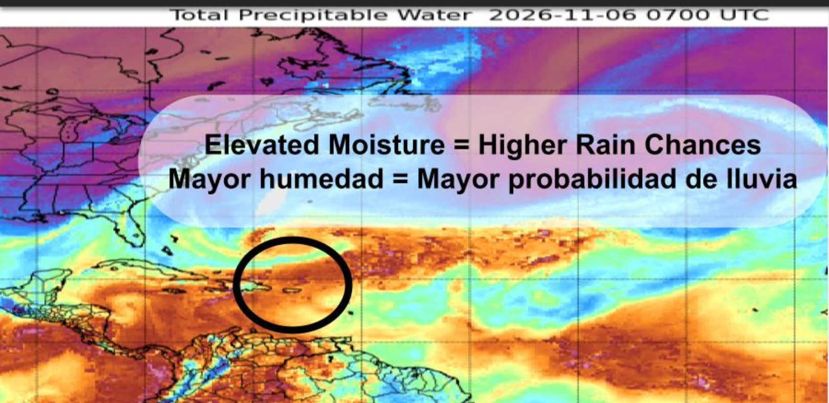
Showers and thunderstorms are expected across the territory Friday night and Saturday, with forecasters warning that slow-moving downpours could cause localized flooding. St. Croix faces an 80 percent chance of rain Saturday, while the forecast for St. Thomas and St. John puts the chance at 70 percent.

The National Weather Service in San Juan’s 2:43 p.m. AST forecast issued Friday, Nov. 6 calls for a 70 percent chance of rain across all three islands Friday night, with numerous showers and isolated thunderstorms. Southwest winds are expected at 10 to 15 mph, with gusts reaching 25 mph in the northern islands overnight and on St. Croix Saturday.
In its 4:04 p.m. forecast discussion, the NWS said a low-pressure system north of the region and a disturbance higher in the atmosphere would continue drawing Caribbean moisture across the islands. As that disturbance moves east Friday night, showers and strong thunderstorms are expected to focus increasingly on the USVI and eastern Puerto Rico.
The unsettled pattern is forecast to linger through Sunday, sustaining the potential for flooded roads, small streams and normally dry channels, along with isolated flash flooding. The strongest thunderstorms could produce lightning and gusty winds, while storms over coastal waters could generate waterspouts.

Rain chances ease somewhat Sunday, although showers remain in the forecast. The island-specific outlook places Sunday’s chance of rain at 50 percent on St. Croix, where isolated thunderstorms remain possible, and 30 percent on St. Thomas and St. John.
Surf and marine conditions
A northerly swell is expected to strengthen through the weekend, with the greatest swell energy arriving Saturday evening into Sunday. The NWS coastal waters forecast, issued at 3:29 a.m. Friday, projects seas of 5 to 6 feet, occasionally reaching 8 feet, in the offshore Atlantic waters Saturday night and Sunday and in the Anegada Passage Sunday.
The 3:27 a.m. surf forecast places St. Thomas, St. John and adjacent islands under a moderate rip-current risk Friday and Saturday. Surf is forecast to rise from about 4 feet Friday to 5 feet Saturday and Sunday.
For St. Croix, the same forecast lists a low rip-current risk Friday, increasing to moderate Saturday. Surf is expected to build from about 3 feet Friday to 4 feet Saturday and 5 feet Sunday.
Moderate risk means life-threatening rip currents are possible. The NWS beach guidance advises swimmers to stay near lifeguards and follow beach patrol instructions and warning flags.

Residents should avoid driving or walking through flooded roads and other floodwaters. Anyone who hears thunder should move into a safe building or enclosed vehicle and wait at least 30 minutes after the last thunder before returning outdoors.