


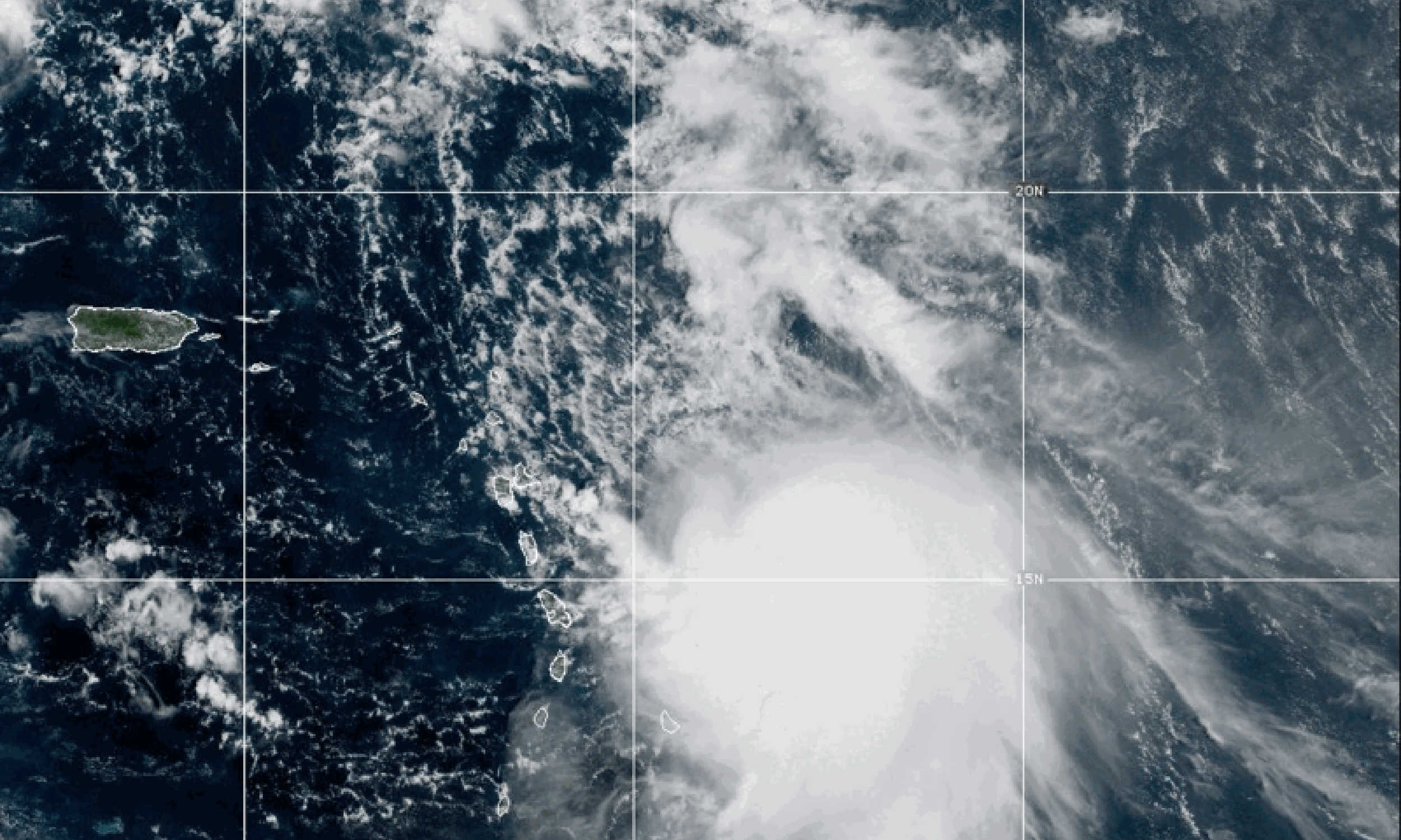
A NOAA satellite image shows Tropical Storm Jerry churning east of the Leeward Islands on Thursday, Oct. 9, 2025, with dense clouds and convection expanding toward the northeastern Caribbean. Photo Credit: NOAA.
Residents of the U.S. Virgin Islands and Puerto Rico are being advised to brace for periods of heavy rainfall, gusty squalls, and dangerous marine conditions as Tropical Storm Jerry passes northeast of the region tonight into Friday.

While Jerry’s center is forecast to stay north of the islands, the storm’s broad and uneven circulation is expected to bring outer rainbands, hazardous surf, and a risk of flash flooding to the territory and eastern Puerto Rico through the weekend.
According to the National Weather Service (NWS) in San Juan, slow-moving showers and thunderstorms associated with Jerry’s outer moisture field will generate 2–4 inches of rain, with localized amounts up to 6 inches possible in saturated and low-lying areas. These conditions could cause urban and small-stream flooding, especially across the Virgin Islands and eastern Puerto Rico, where soils are already moist from earlier rainfall.
The NWS has also issued a Small Craft Advisory for offshore Atlantic waters, with seas building to 8–9 feet. A high risk of rip currents is in effect for north- and east-facing beaches in both Puerto Rico and the Virgin Islands. Forecasters are urging beachgoers and mariners to use extreme caution, as swells generated by Jerry are expected to create life-threatening surf conditions into the weekend.
Winds over land will remain moderate—generally north or west at 5–10 mph—but gusts up to 20 mph may accompany thunderstorms and squalls. Temperatures will remain hot ahead of the storm’s rainfall, with highs in the lower 90s°F and heat indices near advisory levels before afternoon cooling from showers.
Current Storm Status
As of the 5 p.m. advisory, the National Hurricane Center (NHC) located Tropical Storm Jerry near latitude 17.3° N, longitude 60.6° W, about 175 miles east-southeast of the northern Leeward Islands. The storm’s maximum sustained winds remain near 65 mph (100 km/h) with higher gusts, and the central pressure is 1001 mb.
Jerry is moving west-northwest at 18 mph (30 km/h) and is expected to begin curving northwest this evening, then northward on Friday and Saturday. The storm’s low-level center is exposed, and its structure remains asymmetric, with the strongest winds and thunderstorms located on its southern and eastern sides. Because of this uneven organization, tropical-storm-force winds extend up to 175 miles east of the center, while conditions to the west remain significantly calmer.
Watches, Warnings, and Rainfall Totals
A tropical storm warning has been issued for Barbuda, Anguilla, St. Barthelemy, St. Martin, Sint Maarten, Guadeloupe, and nearby islands, where tropical-storm conditions are expected this evening into Friday.
A tropical storm watch remains in effect for Antigua, St. Kitts, Nevis, Montserrat, Saba, and St. Eustatius, where tropical-storm-force winds are possible within the next 12 hours.
The NHC expects 2–4 inches of rainfall across the Leeward and Virgin Islands, with localized maxima up to 6 inches in some areas. Puerto Rico may also see isolated totals of 6 inches, leading to possible flash flooding and mudslides in mountainous terrain.
Forecast Track and Intensity
Jerry’s center is projected to pass very near or just north of the northern Leeward Islands tonight, then turn north on Friday as it moves away from the Caribbean. The NHC forecast maintains the storm’s intensity near 65 mph through Friday, with slow strengthening expected over the weekend as wind shear decreases.
Forecast positions from the NHC place Jerry near 18.6° N, 62.0° W by early Friday, 21.0° N, 63.1° W by Friday evening, and 23.7° N, 63.4° W late Friday night, with winds gradually increasing to 70–75 mph by Saturday.
Consensus models, including the HCCA and Google DeepMind ensemble, keep the system north of the Leeward Islands and east of Bermuda early next week. The storm’s asymmetrical structure means that the Virgin Islands and Puerto Rico are likely to experience only peripheral impacts, though outer rainbands will continue to bring unsettled weather and hazardous marine conditions through Saturday.
Three-Day Local Forecast — St. Thomas and St. John
Thursday Night: Mostly cloudy with scattered showers and possible squalls. Lows near 83°F. North winds 5–10 mph. Rain chance 50%.
Friday: Cloudy with isolated morning thunderstorms and numerous afternoon showers. Highs near 93°F, cooling later in the day. West winds 5–10 mph. Rain chance 70%.
Friday Night: Cloudy with widespread showers and isolated thunderstorms. Lows around 83°F. South winds 10–15 mph, gusts up to 20 mph. Rain chance 70%.
Saturday: Cloudy with numerous showers and isolated thunderstorms as Jerry’s trailing moisture moves through. Highs near 93°F, falling in the afternoon. South winds 15 mph, gusts to 20 mph. Rain chance 70%.
Sunday: Mostly cloudy with scattered morning showers and isolated thunderstorms. Highs near 93°F, easing by afternoon. Rain chance 60%.
Three Day Forecast — St. Croix
Thursday Night: Mostly cloudy with scattered showers. Lows around 83°F. North winds 5–10 mph. Rain chance 50%.
Friday: Mostly cloudy with isolated thunderstorms; scattered showers in the morning and numerous showers in the afternoon. Highs near 93°F, cooling later. West winds 5 mph, increasing to southwest 10–15 mph. Rain chance 70%.
Friday Night: Cloudy with numerous showers and isolated thunderstorms. Lows around 83°F. South winds 10–15 mph. Rain chance 70%.
Saturday: Cloudy with numerous showers and isolated thunderstorms. Highs around 93°F. South winds 10–15 mph, gusts to 20 mph. Rain chance 70%.
Saturday Night: Mostly cloudy with scattered showers and isolated thunderstorms. Lows around 83°F. Southeast winds 10–15 mph. Rain chance 50%.
Sunday: Mostly cloudy with numerous showers and isolated afternoon thunderstorms. Highs near 93°F. Rain chance 60%.
Outlook and Preparedness
Although Tropical Storm Jerry is expected to remain north of the Virgin Islands and Puerto Rico, the system will continue to generate gusty winds, rough seas, and heavy rainfall that could lead to flooding in vulnerable areas.
Residents are urged to complete preparations, including securing outdoor items, clearing drains, and avoiding swimming at unprotected beaches. Mariners should remain in port until conditions improve and follow Small Craft Advisories issued by the NWS.

The National Hurricane Center and National Weather Service San Juan Office will continue to issue updates as Jerry moves northwest and intensifies into the weekend.


Advertisements