


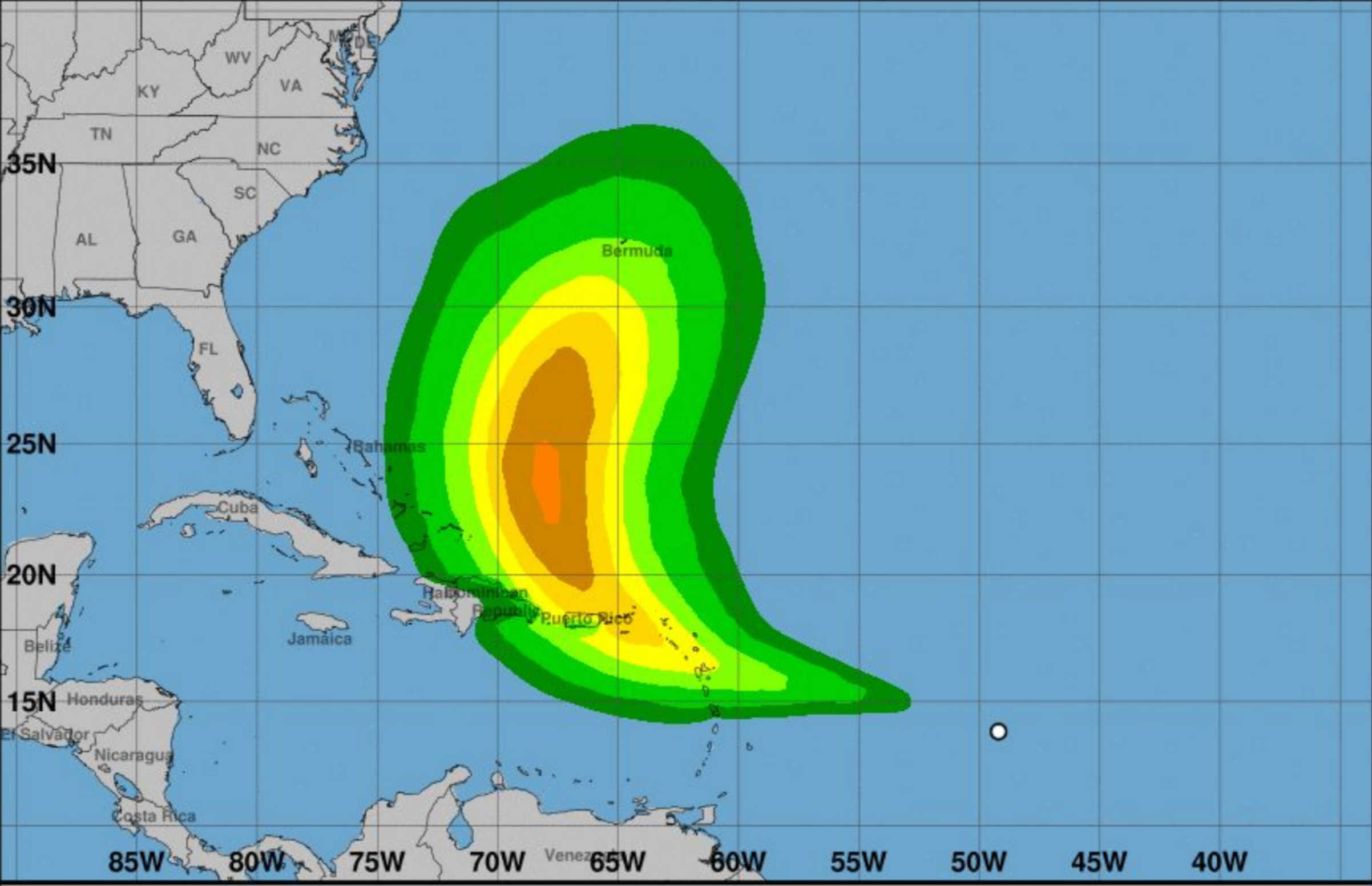
Forecast track for potential Cyclone Five, as of 5 a.m. on Monday, Aug. 12, 2024. Photo Credit: NATIONAL HURRICANE CENTER
The National Hurricane Center has issued a Tropical Storm Watch for the U.S. Virgin Islands, Puerto Rico, and several nearby islands as Potential Tropical Cyclone Five advances across the Atlantic. The system, currently located roughly midway between the Cabo Verde Islands and the Lesser Antilles, is showing increased signs of organization as it moves rapidly westward.

Under the current forecast track the closest approach of this system will be near or over the northern USVI early Wednesday morning. Given the latest forecast track and intensity, now is an opportune moment to initiate preparatory measures for a potential direct or indirect impact from this system
As of 5:00 a.m. AST, the disturbance was centered near latitude 14.4 North and longitude 52.5 West, about 645 miles east-southeast of Antigua and 940 miles east-southeast of San Juan, Puerto Rico. The system is moving westward at 25 mph with maximum sustained winds of 30 mph and a minimum central pressure of 1009 mb.
The Tropical Storm Watch indicates that tropical storm conditions are possible within the watch area within the next 48 hours. Areas under the watch include Guadeloupe, St. Kitts, Nevis, Montserrat, Antigua, Barbuda, Anguilla, Saba, St. Eustatius, St. Martin, St. Barthelemy, Sint Maarten, the British Virgin Islands, the U.S. Virgin Islands, Puerto Rico, Vieques, and Culebra.
The NHC forecasts that environmental conditions are conducive for gradual development over the next few days. Meteorologists predict that a tropical depression is likely to form by the early part of this week as the system approaches and potentially moves near or over the Lesser Antilles, including the U.S. Virgin Islands. Residents on these islands are advised to closely monitor the progress of this system, as watches could be issued for portions of the area as soon as later today.
The system is expected to continue its west-northwestward trajectory and could approach portions of the Greater Antilles by the middle to latter part of this week. The NHC has assessed the formation chances of this system as medium at 60 percent through the next 48 hours and high at 90 percent over the next seven days.
Potential Tropical Cyclone Five is expected to produce significant rainfall, with totals of 4 to 6 inches over portions of the Leeward Islands. Puerto Rico is expected to receive 3 to 6 inches of rainfall, with maximum amounts of up to 10 inches possible. These heavy rains could lead to flash flooding in some areas.
Tropical storm conditions, including strong winds and heavy rainfall, are possible within the watch area beginning late tonight or Tuesday. A storm surge is expected to raise water levels by 1 to 3 feet above ground level along the eastern coast of Puerto Rico, including Culebra and Vieques, as well as in the U.S. Virgin Islands, including St. Thomas, St. John, and St. Croix. Similar surges are expected in the British Virgin Islands.
Swells generated by the system are likely to begin affecting portions of the Leeward Islands starting tonight, creating life-threatening surf and rip current conditions. Residents are advised to follow local weather advisories and take necessary precautions to ensure safety.

For detailed information and updates, residents are encouraged to visit the National Hurricane Center website and monitor products issued by their local National Weather Service offices. The NHC will continue to provide updates as the situation develops


Advertisements


