


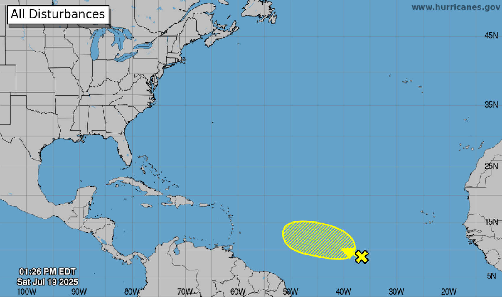
NHC map highlights a tropical disturbance in the central Atlantic with low chances of development before conditions become unfavorable midweek. Photo Credit: NHC.
A tropical wave currently interacting with a broad area of low pressure in the central tropical Atlantic is being monitored by the National Hurricane Center (NHC), though chances for further development remain low over the next several days.

As of the latest update at 2:00 PM EDT on Saturday, July 19, the disturbance is located more than 900 miles west-southwest of the Cabo Verde Islands, generating disorganized showers and thunderstorms across the region.
The system is moving generally west to west-northwest at about 10 mph, according to the NHC. Forecasters say that environmental conditions appear only marginally conducive for gradual development in the coming days. However, by midweek, those conditions are expected to become unfavorable for further development.
The NHC assigns the disturbance a low (10%) chance of formation within 48 hours, and a low (20%) chance over the next seven days.
At this time, the disturbance poses no immediate threat to land. The NHC will continue to monitor the system and issue updates as needed.


Advertisements