


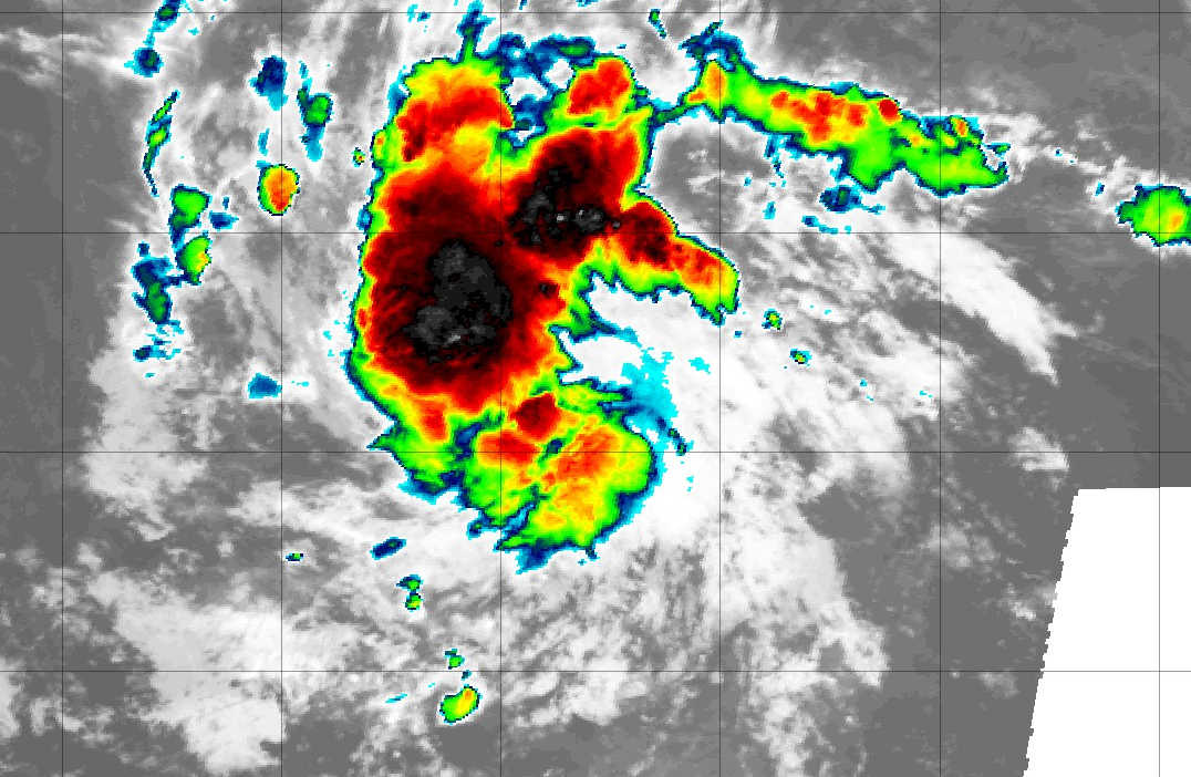
Satellite imagery of Tropical Depression 18.
What is currently Tropical Depression 18 is expected to strengthen into a tropical storm on Thursday and a hurricane over the weekend, and according to forecasters, how rapidly the storm strengthens will determine whether it impacts the Lesser Antilles islands or pass north of them.

According to the National Hurricane Center's 5:00 a.m. Thursday forecast, maximum sustained winds were near 35 mph (55 km/h) with higher gusts. Strengthening is forecast during the next few days, and the depression could become a tropical storm later today and a hurricane over the weekend.
According to Dr. Jeff Masters, a noted meteorologist currently at Yale's Climate Connections, conditions appear quite favorable for the system to intensify throughout the next five days. Wind shear is predicted to be light to moderate (5-15 knots), sea surface temperatures (SSTs) will be at least 28 degrees Celsius (82°F), and the atmosphere is predicted to be moist, with a mid-level relative humidity of 55-70%. But the system’s development will be slowed by its close proximity to the equator (near 10°N), which will keep 98L from gaining much spin from Earth’s rotation.
Storm's Path
According to Dr. Masters, the storm is predicted to continue tracking west to west-northwest relatively slowly, at 10-15 mph, over the next week, potentially making it a threat to the Lesser Antilles Islands in seven to eight days. The future track will depend heavily on how quickly 98L develops, and how strong it gets. A stronger storm is more likely to track farther to the north and miss the Lesser Antilles; a weaker and slower-to-organize storm will track farther to the west and potentially enter the Caribbean. 98L’s future track will also depend upon the timing and strength of troughs of low pressure passing to the north next week, and possibly on how strong the remains of tropical storms Peter, Odette, and Rose are. Remains of these storms could create a weakness in the ridge of high pressure steering 98L, allowing it to track farther to the north and miss the Lesser Antilles.
He further stated that NOAA's Global Forecast System (GFS) and European model ensembles showed a potential threat to the Leeward Islands by the middle of next week, with the European model showing more of a threat. Compared to model runs on Tuesday, Wednesday’s model runs were slower, showing the system would likely make its closest approach to the Lesser Antilles Islands on Wednesday, September 29.


Advertisements


