



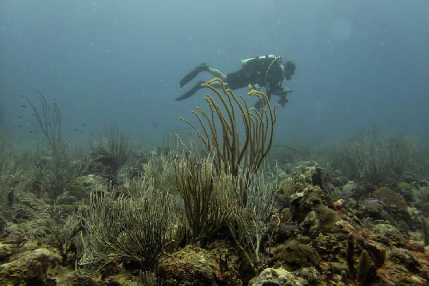
The National Oceanic and Atmospheric Administration is seeking a specialized scientific diving team to conduct surveys at 28 deep-coral-reef sites around St. Thomas and St. John, part of a federal effort to better understand fish populations and habitat in waters significantly deeper than those covered by traditional reef-monitoring programs.

The work will take place at depths ranging from 30 to 50 meters, or approximately 98 to 164 feet, along the insular shelf surrounding St. Thomas and St. John. NOAA is also calling for surveys at 20 sites in Puerto Rico, meaning the Virgin Islands accounts for 28 of the 48 sites included in the planned U.S. Caribbean operation.
NOAA issued the request for quotations through its Southeast Fisheries Science Center, seeking a technical diving team capable of collecting reef-fish survey information and accompanying habitat data under the agency's Deep Coral Reef Monitoring Program. Quotations are due Tuesday, September 8. The solicitation does not disclose the value of the eventual contract, and no award has yet been made.
The surveys are aimed at what scientists call the mesophotic zone — deeper, lower-light coral ecosystems that begin at roughly 100 feet below the surface. These ecosystems can support corals, sponges, algae and fish associated with shallower reefs, but their depth has historically made them more difficult to study. NOAA says mesophotic coral ecosystems can extend far below the conventional recreational scuba-diving range.

The federal government has particular interest in these deeper waters because existing reef monitoring has traditionally focused on areas shallower than 30 meters. NOAA says reef habitat, fish populations and fisheries extend farther offshore and deeper along the insular shelf, leaving an important information gap between approximately 30 and 50 meters.
The Deep Coral Reef Monitoring Program was developed to help close that gap. When its surveys are combined with NOAA's existing National Coral Reef Monitoring Program, federal scientists expect to obtain information covering reef habitat from the surface down to approximately 50 meters, including the population ranges and sizes of more than 33 fishery-targeted reef-fish species and the distribution of eight species protected under the Endangered Species Act.
Previous NOAA research around St. Thomas and St. John has demonstrated the importance of those deeper habitats. A multi-year pilot study that expanded reef-fish monitoring into waters between 30 and 50 meters found that the deeper survey area encompassed considerably more reef habitat than the existing shallow-water monitoring area. Researchers concluded that surveying the broader insular shelf was important for fisheries-management decisions in the Virgin Islands.
NOAA Fisheries says the need for deeper monitoring has also become more significant because fishermen targeting commercially valuable species such as groupers, snappers and parrotfish regularly operate over mesophotic reef habitat. The agency says extending surveys into those depths can provide more accurate and unbiased information for island-based fisheries management.
The contractor selected for the new surveys must use open-circuit scuba equipment and comply with American Academy of Underwater Sciences safety standards. The work requires technical diving because some dives may involve decompression profiles, and survey personnel must be proficient in identifying U.S. Caribbean reef fish.
NOAA is also requiring the diving operation to avoid impacts to the reef itself. Anchoring at survey locations is prohibited, and the contractor must conduct the work without damaging the benthic — or seafloor — habitat. Surveyors will record standardized site photographs and enter collected information into NOAA's Southeast Fisheries Science Center database for review and quality control.
Survey operations can occur during designated periods through December 2027, while avoiding January through April and known regional fish-spawning aggregations. All final survey information, photographs and original data sheets are due to NOAA by February 15, 2028, after which the information is expected to be archived with the National Centers for Environmental Information.

The new work builds on years of federal reef research around the territory. During a 2023 National Coral Reef Monitoring Program mission around St. Thomas and St. John, nearly 40 divers from NOAA and partner agencies surveyed hundreds of shallow-water sites, recording information on fish and coral abundance and size. The new deep-water effort is designed to push that monitoring farther down the reef slope into areas that have historically received considerably less routine scientific coverage.