
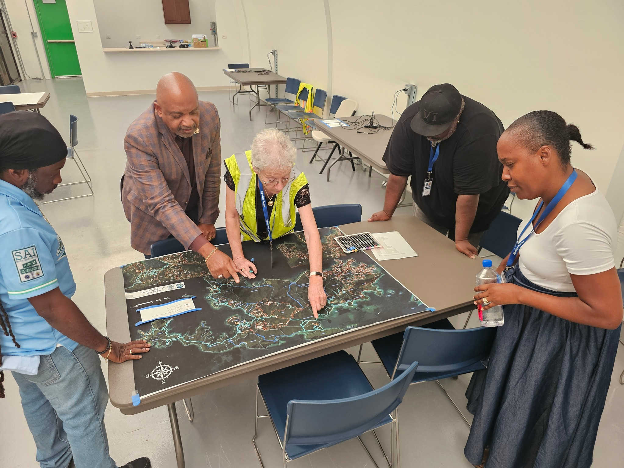
Lieutenant Governor Tregenza Roach, center left, reviews a map with Street Addressing Initiative team members at the Guy Benjamin Campus in Coral Bay, St. John. Photo Credit: OLG.
The Office of the Lieutenant Governor, through its Division of Geospatial Information Systems (GIS), is making a final push to complete the Virgin Islands’ Street Addressing Initiative (SAI).

The program began its pilot phase in 2013 with the goal of creating a comprehensive street addressing system based on both national and local standards. Now in its final phase, officials say the project’s success depends on public participation.
At a press conference on Wednesday, Lieutenant Governor Tregenza Roach emphasized the need for a standardized street addressing system, pointing to the cultural tendency of giving directions based on landmarks. He described this practice as “nice from a cultural standpoint,” but added that it is “not the most efficient means of getting something, especially if it's a person waiting for assistance.” He noted that the pink house on the corner could be repainted, or the mango tree in a yard might be blown down, underscoring the need for a more permanent and reliable system.
The SAI encourages residents to collaborate in naming streets, with guidance that names reflect Virgin Islands history and heritage. St. John’s residents have responded enthusiastically, resulting in the island achieving the territory’s first “total urban grid.” Lieutenant Governor Roach noted that 97 percent of roads on St. John have been addressed, surpassing the threshold to become fully operational.
“We are a good place to do our official submission to the global mapping engine. So that will be to Google to Apple Maps…as well as to all public-facing agencies that need to consume addresses,” said Christopher George, director of the GIS Division. He anticipates that by September 2025, mapping platforms will be able to “implement it into their program workflows.” Street signs are the next step for St. John, with the GIS Division already in the “execution stage” of the contract. According to George, all residential streets will soon display their official names, and illuminated highway signs will also be installed.
Attention now turns to St. Thomas and St. Croix, where approximately 30 percent of roads still need to be named.
“We need you to participate,” Roach stressed. He described the SAI as an “opportunity for neighborhood dialogue,” adding, “This is the opportunity for us to find other people and say, 'I want a road named for mister so and so.'”
George said the GIS Division is “still working diligently for names for St. Thomas and St. Croix.” He acknowledged the contributions of employee John Gumbs, who has been focused on St. Croix. “That's pretty much his full-time job at this point,” George said.
“Please get in touch with us so we can walk you through the process. We’ve made the process as easy as possible,” George added, explaining that the effort was designed to minimize difficulties.
George expects the project to be completed by summer 2026, which will include finalizing all street names and signage. “Once all three islands are complete, Lieutenant Governor will make his proclamation that we have a fully functioning system on all three major islands,” he said. Afterward, the data will be submitted to the Department of Transportation, the U.S. Census Bureau, the Department of the Interior, and the national address database.
Roach reminded Virgin Islanders that the naming process is meant to be collaborative. “Speak to the people in your community, speak to property owners on that road…and get a certain percentage of people to agree,” he urged.

Road name request forms are available on the Street Addressing Initiative’s website, and the GIS team has indicated they are ready to assist.


